
On the Nabataean capital carved from living sandstone, the canyon system that reveals the geology all three destinations share, the desert wilderness that shaped Bedouin culture and outlasted everything built inside it, and why the most intelligent Jordan itinerary is also the most coherent one
The Nabataeans carved their capital into the sandstone of Petra using the same geological material that Wadi Mujib spent millions of years shaping, in the desert landscape that the Bedouin of Wadi Rum have navigated for three thousand years. These are not three separate places. They are one story, told in three locations — and Jordan is the only country on earth where all three chapters are available within a single itinerary.
Jordan — the country the world examines and rarely understands
Jordan is smaller than the state of Indiana — approximately 89,000 square kilometres of landscape that is 75% desert, with a Red Sea coastline at Aqaba, borders with Israel, Palestine, Syria, Iraq, and Saudi Arabia, and a position at the precise intersection of four of the ancient world’s most consequential trade routes: the King’s Highway, the Incense Route, the Silk Road’s western arm, and the corridor connecting Egypt to Mesopotamia. Every civilisation that mattered in the ancient world passed through or settled in what is now Jordan. The Nabataeans, the Edomites, the Romans, the Byzantines, the Umayyads, the Crusaders, the Ottomans: the archaeological evidence of each is present in the landscape, and in the south, it is extraordinarily well preserved.
The contemporary reality is equally specific. Jordan is a constitutional monarchy — the Hashemite Kingdom — with a population of approximately 10 million and a documented record of political stability in a region whose instability has, by comparison, rendered comparable archaeological sites in neighbouring countries inaccessible. The reason Jordan’s historical sites remain visitable is not good fortune. It is governance. That fact deserves acknowledgement rather than diplomatic circumvention, because it explains why the itinerary described in this editorial is available at all, and why it will remain available when the regional landscape around it continues to shift.
The three destinations of this itinerary — Petra, Wadi Mujib, and Wadi Rum — are not sights in a country. They are three chapters of a single narrative that begins with geology, moves through human civilisation, and ends in the landscape that both produced and outlasted everything humanity built in it. They share the same sandstone. They share the same tectonic forces. They share the same desert light. The writer who visits all three in sequence, moving south from Petra to Wadi Mujib to Wadi Rum, is reading a single argument in three languages simultaneously. The encounter with civilisational depth that defines the most significant journeys in this region finds its most complete expression in Jordan precisely because the distance between the geological and the human is smaller here than almost anywhere else on earth: the Nabataeans carved their tombs into the same sandstone that the wadis are still eroding. The inscription and the erosion are simultaneous.
Petra — what the Nabataeans built and why it still matters
Petra was established by the Nabataean Arabs as the capital of their kingdom in the 4th century BCE, following an earlier Edomite settlement of the same site. The Nabataeans were traders with an unusual commercial sophistication: as middlemen controlling the overland routes along which frankincense, myrrh, spices, silk, and copper moved between Arabia, Egypt, and the Mediterranean, they levied taxes of approximately 25% on all goods crossing their territory — a revenue model that, by the 1st century BCE, had made the Nabataean kingdom one of the wealthiest states in the ancient world. Petra was where that wealth was deposited, and the resulting architecture is the most visible evidence of what a desert trading civilisation looks like when it has both the resources and the time to build deliberately.
The engineering achievement of Petra is not primarily its rock-carved facades — extraordinary as they are — but the water management system that made a city of between 20,000 and 30,000 people viable in a canyon with no permanent river. The Nabataeans constructed a network of ceramic pipes, cisterns, channels carved into the sandstone walls, check dams across the wadis, and rock-cut diversions that collected flash flood water, stored it underground with waterproof plaster linings that minimised evaporation, and distributed it throughout the urban area with a reliability that Petra’s visitors centuries later are still benefiting from. UNESCO’s World Heritage designation for Petra, awarded in 1985, explicitly cites this hydraulic intelligence as part of the site’s Outstanding Universal Value. Without it, Petra could not have existed. The city is, at its foundation, a water engineering argument that the desert could not win.
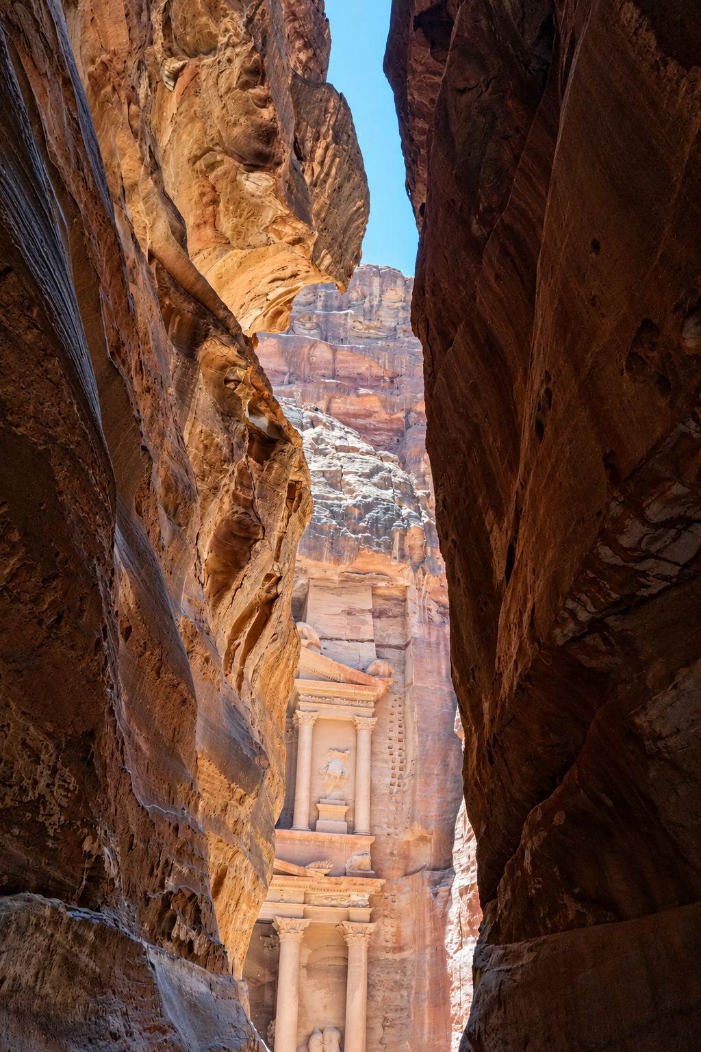
The Siq — the 1.2-kilometre entrance gorge whose walls narrow to three metres in places and rise 80 metres overhead — was formed not by water erosion but by tectonic fracture: a split in the sandstone through which the Nabataeans routed a ceramic water pipe system visible along the full length of the walls, alongside carved votive niches and inscriptions in the Nabataean script that gave rise to modern Arabic. Walking the Siq at 6:15am — Petra’s gates open at 6am — in early morning light with no other visitors visible is an encounter with the gorge’s architecture that the midday experience, surrounded by several thousand other people, cannot replicate. The specific quality of morning light on Nabataean sandstone — the iron oxide that gives the rock its variable palette of red, pink, orange, and purple responding to low-angle illumination in ways that flat midday light completely flattens — is the most important piece of practical intelligence for any Petra visit. The Treasury at that hour, in that light, is genuinely different from the Treasury in any photograph taken of it.
The Nabataeans were an ancient Arab trading people who established Petra as their kingdom’s capital in the 4th century BCE. They controlled the overland incense, spice, and silk routes between Arabia, Egypt, and the Mediterranean, levying taxes of approximately 25% on all goods crossing their territory. At their peak in the 1st century BCE, their kingdom was one of the most commercially sophisticated states in the ancient world. Petra, their capital, supported between 20,000 and 30,000 people in a desert canyon through an advanced hydraulic engineering system of ceramic pipes, cisterns, carved water channels, and check dams. The Nabataean script gave rise to modern Arabic. Their kingdom was annexed by Rome in 106 CE. UNESCO designated Petra a World Heritage Site in 1985; it was named one of the New Seven Wonders of the World in 2007.



Beyond Al-Khazneh — the Petra that most visitors never see
Al-Khazneh — the Treasury — is the most photographed facade of a structure whose interior was partially excavated for the first time in 2024, when archaeologists found a tomb containing twelve skeletons beneath its floor. This is the correct entry point for understanding what Petra actually is: not a set of completed monuments that have been fully understood, but an ongoing archaeological conversation that produces new findings each season. Brown University’s excavation of the Great Temple — a 7,560-square-metre civic complex south of the Colonnaded Street, featuring elephant-head limestone capitals and a semi-circular bouleuterion seating up to 630 people, which ongoing excavation suggests functioned as a royal reception hall and civic assembly space rather than a purely religious structure — ran for three decades and fundamentally changed our understanding of how the Nabataeans organised their civic life. The Treasury introduced you to Petra. The Great Temple is where Petra argues back. As National Geographic’s ongoing archaeological investigation of Petra documents, much of the city remains unexcavated — a fact that converts the site from a completed monument into a live scientific conversation whose most significant conclusions have not yet been reached.
Al-Deir — the Monastery — sits at the top of approximately 800 stone-carved steps cut into the sandstone. Its facade measures 47 metres wide and 48 metres high, making it larger than the Treasury, and it was originally a Nabataean tomb dedicated to King Obodas I before Byzantine Christians converted it into a church — hence the name the European explorers who rediscovered it gave it. A fraction of Petra’s visitors climb to Al-Deir. The ascent requires an hour and a moderate level of fitness. The result is an encounter with a monument that has not been worn smooth by the weight of its own reputation — and that offers, from the plateau above, the most complete aerial perspective on Petra’s spatial logic available to any visitor who does not arrive by drone.
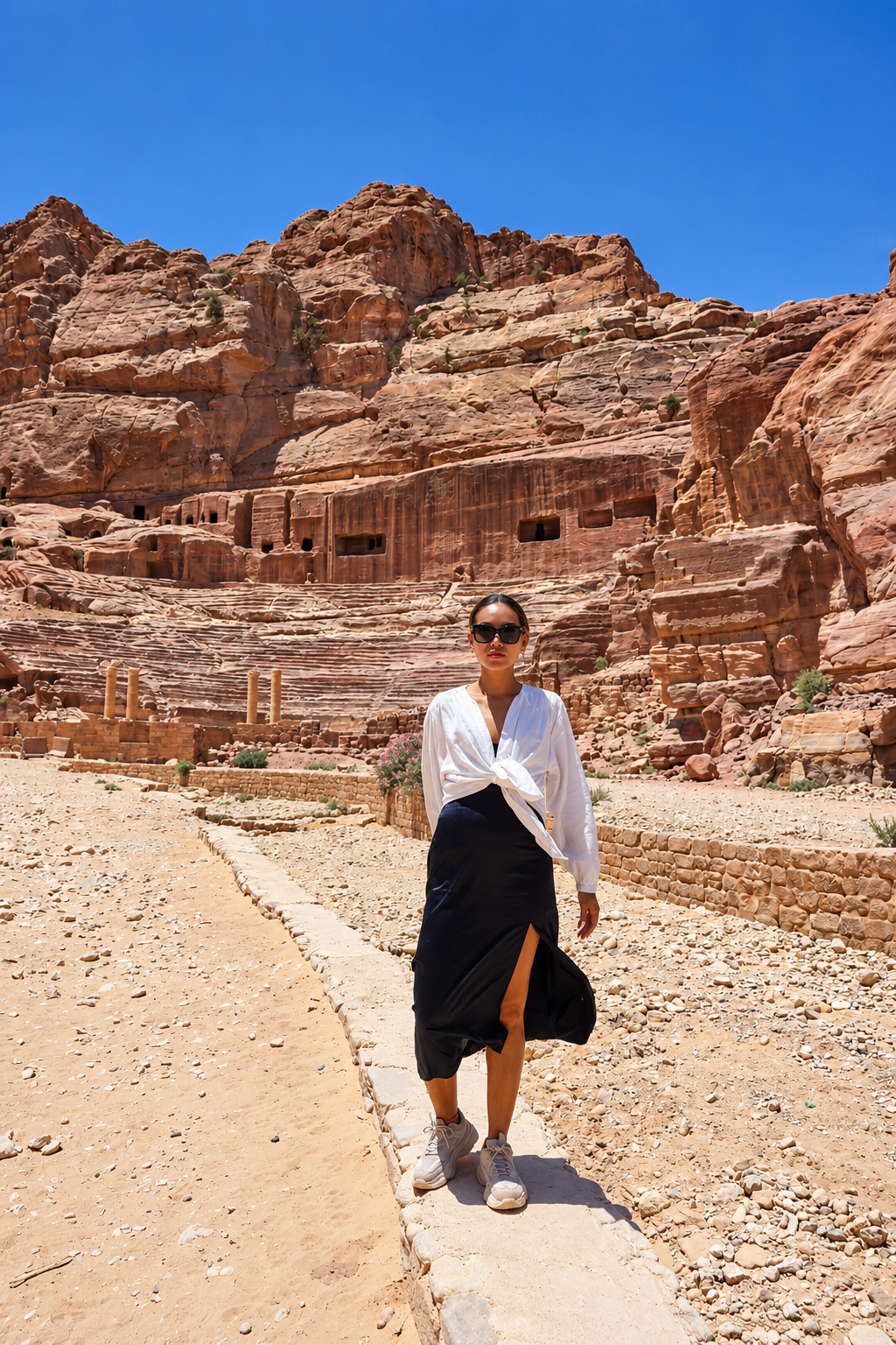
The High Place of Sacrifice — Jebel Madbah — rises above the Street of Facades and offers the complete panoramic view of the city’s urban layout: the east-west ceremonial axis running from the Siq through the Colonnaded Street to the Qasr al-Bint, the only freestanding temple remaining in the city and the place where Dushara, the Nabataeans’ supreme deity, was worshipped. The spatial relationship between this ceremonial axis and the carved tombs arranged on the surrounding cliff faces tells a story about how the Nabataeans organised their world between the living and the dead — a story that no guidebook text can replace an hour’s quiet observation to understand. Two full days at Petra is the minimum for this level of engagement. The first day should end with Petra by Night, when the RSCN lines the Siq and the Treasury plaza with approximately 1,500 candles — available on Monday, Wednesday, and Thursday evenings only, and requiring a separate ticket booked in advance.
The transformation that occurs when monuments are approached with the vocabulary to read them — when the Treasury stops being an impressive facade and becomes the entrance to a city, when the Colonnaded Street stops being a ruin and starts being an urban argument — is the difference between visiting Petra and understanding it. The Nabataeans left almost no written records of their own. What they left instead is the city — a text in stone, in water channels, in cistern placement, in the relationship between tomb orientation and solar movement. Learning to read it is the work of the two days the city requires.
Wadi Mujib — the geology that produced everything
Between Petra and Wadi Rum lies the destination that most Jordan itineraries treat as optional and that this one treats as foundational: Wadi Mujib, the canyon system that drops from the Jordanian highland plateau to the Dead Sea at 410 metres below sea level, and that makes visible the geological forces producing the landscape all three destinations share. The Jordan Rift Valley — the tectonic boundary where the African and Arabian plates are separating at approximately four millimetres per year — is the reason the Dead Sea exists, the reason canyon walls rise over 1,000 metres from the valley floor, and the reason the sandstone that the Nabataeans carved at Petra is the same formation that Wadi Mujib has been eroding for millions of years. The traveller who visits all three destinations with geological awareness is seeing the same material in three different states: carved by human intelligence at Petra, carved by water at Wadi Mujib, and standing at human scale against geological permanence at Wadi Rum.
The Mujib Biosphere Reserve — 212 square kilometres of canyon, river valley, and Dead Sea shoreline, established by the RSCN in 1987 and designated a UNESCO Biosphere Reserve in 2011 — manages human access to this landscape through a permit system that controls daily visitor numbers in relation to ecological capacity. The Mujib Chalets, on the Dead Sea shoreline at the canyon’s mouth, are the only accommodation inside the reserve boundary. The Siq Trail — the entry-level route that follows the Mujib River through the lower gorge between sandstone walls that in the narrowest sections reduce the sky to a strip of blue overhead — is the trail that best communicates what Wadi Mujib actually is. Moving through water inside a canyon whose walls carry the marks of ten million years of tectonic forces and millions of years of river erosion is a specific sensory and intellectual experience that no photographs of it, however well made, can replicate. The temperature of the water against desert air. The acoustics of a moving river in enclosed stone. The specific quality of grip that wet sandstone offers — adequate from certain angles, none from others — demanding the kind of full attention that daily life rarely requires.
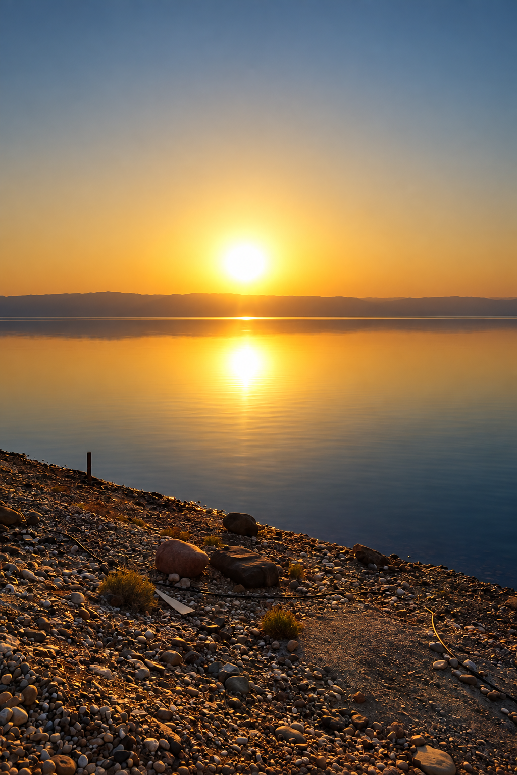
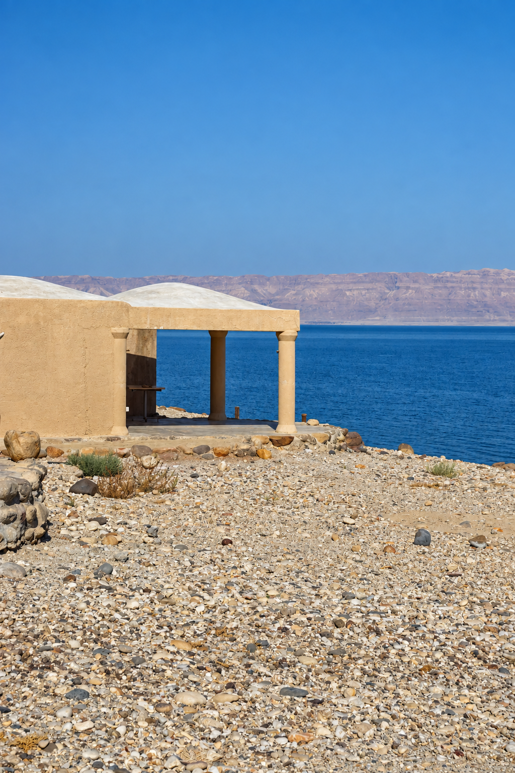
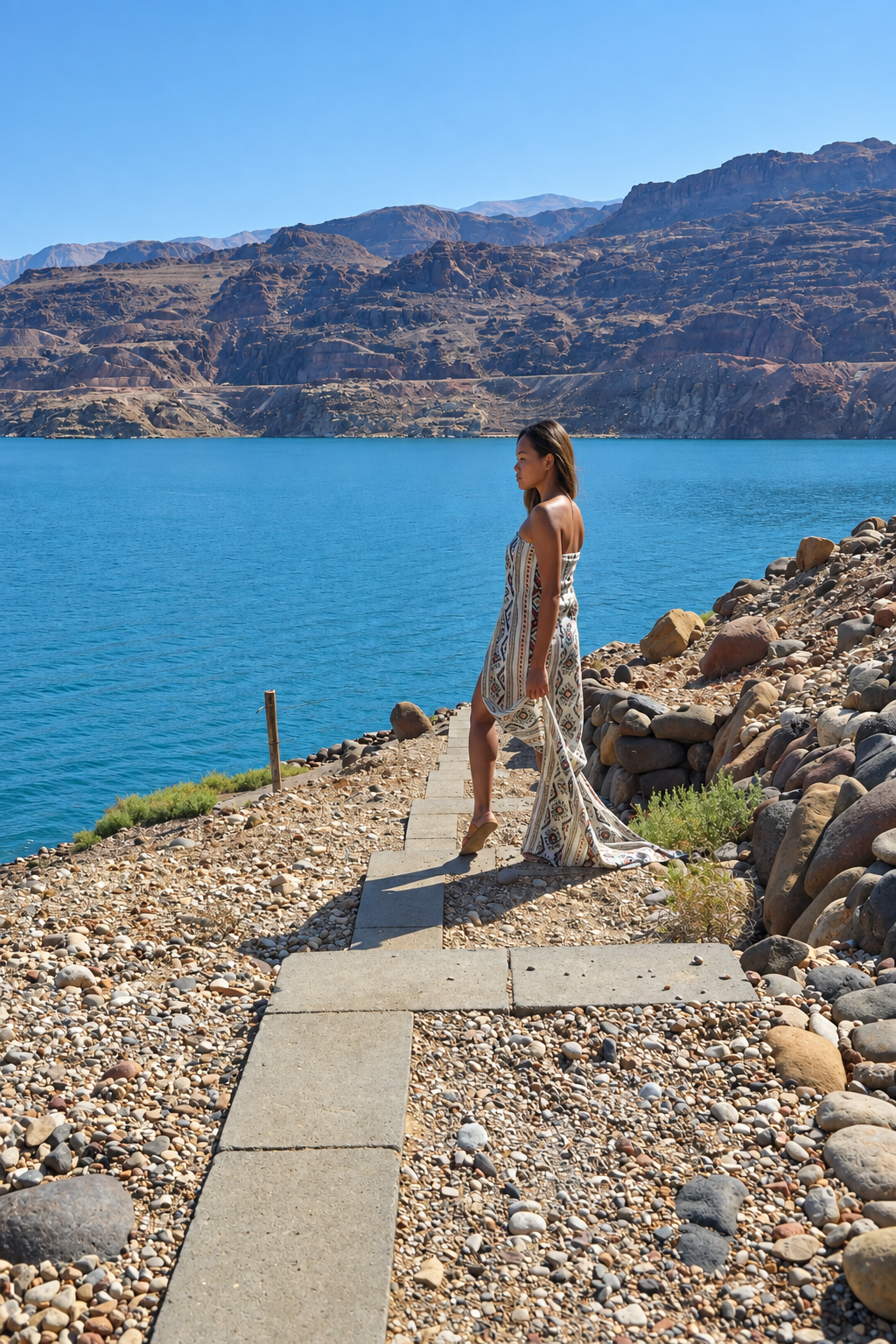
The Dead Sea at Mujib Chalets is the same Dead Sea available at every major resort property on its shores — hypersaline, approximately 34% salt, producing automatic flotation through a genuine density differential — with one significant difference: here, the canyon system you have just walked through is visible directly behind you as you float. That juxtaposition — the freshwater system and the hypersaline terminal lake — is the geological argument the Dead Sea section of the Jordan Rift Valley has been making for ten million years. The full ecological and geological intelligence of Wadi Mujib and the Dead Sea — the RSCN’s conservation model, the six trail routes, the Nubian ibex programme, and the shrinkage of the lake that deserves honest acknowledgement — is the subject of a companion editorial. For this itinerary, the essential understanding is simpler: Wadi Mujib is not an optional detour between Petra and Wadi Rum. It is the chapter that makes both of them comprehensible.





Wadi Rum — the desert as a complete environment
Visitors to Jordan consistently describe Wadi Rum as the most affecting of the three destinations — which surprises them, because they arrived expecting to be most affected by Petra. The reason is that Wadi Rum produces a specific emotional response that archaeology cannot: the experience of human smallness in relation to geological scale. The sandstone and granite mountains of Wadi Rum — a UNESCO World Heritage cultural and natural landscape since 2011, covering approximately 74,000 hectares — rise from a valley floor of iron-oxide-red sand at heights of up to 1,750 metres. They have been forming for 500 million years. The human presence in that landscape — the Bedouin camps, the camel routes, the jeep tracks of a century of desert tourism — is recent and obviously temporary, which is the most honest encounter with scale that travel provides.
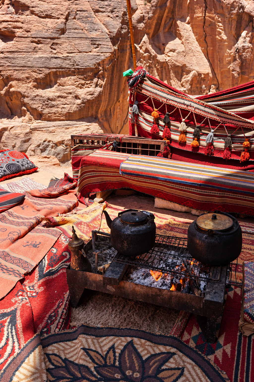
The Zalabia Bedouin — the principal community whose relationship with Wadi Rum’s tourism economy shapes the visitor experience — are the inheritors of a desert navigation tradition that is generational and practical: knowledge of water sources, of rock formation names, of seasonal routes, of weather indicators visible in the quality of morning light and the behaviour of desert animals that has been transmitted from parent to child for centuries and is now being adapted to the requirements of a protected reserve tourism model. A Bedouin guide in Wadi Rum is not a tour operator in any meaningful sense. He is the person in the group who actually knows where they are. Lawrence of Arabia established his Arab Revolt base here from 1916 to 1918 and described it as ‘vast, echoing and God-like’ — an observation that has been quoted so frequently it has been worn smooth. The words remain accurate. They simply require the landscape to restore them to meaning, which the landscape does without effort.
The Nabataean inscriptions visible in Wadi Rum’s rock faces are in the same script found at Petra. The landscape that Lawrence navigated in 1917 is the landscape that Nabataean caravans crossed in 100 BCE. The continuity is not poetic. It is historical, and it is the reason this destination closes the itinerary rather than opening it: Wadi Rum is the context within which Petra was built. The Nabataeans controlled the desert because they understood it. Understanding Wadi Rum — spending three nights inside the protected reserve rather than driving through it — is the closest available approach to the knowledge that made their kingdom possible. Seven Wonders Luxury Camp, with its dome accommodations positioned inside the UNESCO protected area, its zarb dinners, and its night sky that is among the least light-polluted in the Middle East, provides the accommodation intelligence for this encounter. The dome’s transparent ceiling makes the night sky the primary content of the stay. The desert’s silence — not the absence of sound but the presence of something with genuine depth — is the thing most consistently described by those who have stayed as the experience they were least prepared for and most grateful to have had.
Wadi Rum and Wadi Mujib are two entirely different landscapes in southern Jordan, linked by the same tectonic geology but offering opposite experiences. Wadi Mujib is a canyon system that drops from the highland plateau to the Dead Sea at 410 metres below sea level — the world’s lowest nature reserve, with a year-round river system and six trail routes through a UNESCO Biosphere Reserve managed by the RSCN. The experience is water-based: hiking through river gorges, canyon immersion, Dead Sea access. Wadi Rum is a desert wilderness of 74,000 hectares of sandstone and granite formations — a UNESCO World Heritage cultural and natural landscape — with no water trails and a fundamentally different register: scale, silence, and the encounter with geological permanence. Together they represent the full spectrum of Jordan’s extreme landscape. Neither is a substitute for the other.

The itinerary — how to move between all three with intelligence
The logical travel sequence is south from Amman: Petra first, then north to Wadi Mujib, then south again to Wadi Rum and, optionally, east to Aqaba on the Red Sea. This produces a narrative progression — archaeological depth, then geological drama, then desert immersion — and follows the natural road logic from Queen Alia International Airport. A rental car is strongly recommended throughout: it gives independence on the King’s Highway approach to Petra, flexibility on the Dead Sea Highway between Wadi Mujib and Wadi Rum, and the ability to make decisions about timing that public transport and pre-arranged transfers do not allow.
Recommended sequence — 7 to 10 days
Days 1–2: Petra. Approach via the King’s Highway from Amman — through Madaba, the Wadi Mujib gorge viewpoint at the highway crossing, and the Crusader castle at Karak — rather than the faster Desert Highway. Day 1: Siq at 6:15am, Al-Khazneh, Street of Facades, Royal Tombs, High Place of Sacrifice. Day 2: Al-Deir (the Monastery) in the morning, the Colonnaded Street and Qasr al-Bint in the afternoon. Petra by Night on Monday, Wednesday, or Thursday — separate ticket, advance booking essential during peak season.
Days 3–4: Wadi Mujib. Drive north on the Dead Sea Highway to Mujib Chalets (approximately 2.5 hours from Petra). Day 3: settle, Dead Sea at dusk. Day 4: Siq Trail in the morning — book through RSCN at rscn.org.jo well in advance; Canyon Trail for the physically ambitious, requiring a guided ascent booking.
Days 5–7: Wadi Rum. Drive south via the Dead Sea Highway (approximately 2 hours). Three nights at Seven Wonders Luxury Camp inside the UNESCO protected area. Day 5: arrival and desert orientation, sunset jeep tour. Day 6: full-day guided Bedouin exploration — Nabataean inscriptions, Lawrence’s Spring, Khazali Canyon. Day 7: morning camel trek, afternoon rest, night sky observation.
Day 8+: Aqaba (1 hour from Wadi Rum) for Red Sea access, or direct return to Amman for departure.
The King’s Highway deserves a paragraph of its own, because it is the most consistently underused piece of practical intelligence in Jordan travel writing. The route — one of the world’s oldest continuously used trade and military roads, mentioned in the Biblical Book of Numbers as the path Moses requested permission to travel — runs north-south through Jordan from Aqaba to Damascus, passing through Madaba, Karak with its Crusader castle, and the dramatic Wadi Mujib gorge crossing before reaching Wadi Musa and the approach to Petra. It is an hour slower than the Desert Highway and incomparably more historically and visually significant. The gorge viewpoint at the King’s Highway crossing is the moment where the geological argument of the whole itinerary becomes visible from a single vantage point: the Dead Sea 900 metres below, the canyon walls rising from its shore, the plateau rim where you are standing, and the same sandstone formation that will surround you at Petra for the following two days.
The Jordan Pass — which combines the visa fee (for eligible nationalities) with Petra entry and access to more than 40 additional archaeological and natural sites — should be purchased online before departure at visitjordan.com. It does not cover RSCN trail permits at Wadi Mujib, which must be booked separately through rscn.org.jo. It does not cover the Wadi Rum entrance fee, paid at the reserve gate. These three separate booking systems are the single most commonly underestimated logistical complexity in planning this itinerary. The infrastructure of a well-prepared journey — from the charging equipment that keeps logistics manageable to the Jordanian SIM card purchased at Queen Alia Airport — is the invisible layer on which the experience of all three destinations depends.

The cultural intelligence — what Jordan requires of the traveller who wants to understand it
Jordan is a Muslim-majority Sunni constitutional monarchy in which the culture of hospitality — diyafa, in the Bedouin tradition — is not a tourism strategy but a civilisational value rooted in the desert ethics of a people for whom offering shelter and sustenance to a traveller was a moral obligation that preceded any commercial relationship. The traveller who arrives knowing this will be received differently from the traveller who does not, because Jordanian hospitality is relational: it is offered most fully when it is recognised as what it is rather than as a service transaction. The formal greeting — As-salamu alaykum, and the response wa alaykum as-salam — are the opening of every genuine social exchange in Jordan. They are not tourist performance. They are an acknowledgement of the relationship between host and guest that has been the foundational social contract of this desert culture for centuries.
The practical dimension: loose, lightweight, moisture-wicking layers in neutral colours are the correct clothing choice for all three destinations. Long sleeves and trousers or long skirts are appropriate at Petra, Wadi Mujib, and Wadi Rum, and are also the correct response to UV exposure at sites with high solar intensity and significant reflective surfaces — pale sandstone at Petra, red sand at Wadi Rum, wet sandstone at Wadi Mujib, all of which amplify ground-level UV in ways that shade does not mitigate. A lightweight scarf is a multi-purpose tool: sun protection, warmth in desert evenings (temperatures drop significantly after sunset regardless of daytime heat), and appropriate covering at any religious or traditional site. SPF 50 or higher should be applied as a baseline and reapplied after any water activity. Hydration is critical, particularly at Petra in summer, where dehydration risk is significant and underestimated. The specific vulnerability of the skin to UV exposure at high solar intensity — lips included — is the physical reality of sustained outdoor time at all three of these sites.
The political context should be stated plainly and once: Jordan borders Israel, Palestine, Syria, Iraq, and Saudi Arabia. The instability of the wider region is documented and real. Jordan’s internal stability has made it one of the safest countries in the Middle East for international travellers continuously since its independence in 1946. This is not a claim that requires qualification in every paragraph. It is a fact that travel advisories from every major government consistently confirm, and it is the foundational reason this editorial can recommend the itinerary it describes with the confidence it does.
The thing that Jordan asks of the traveller who wants to understand it — not visit it, understand it — is time. Two days at Petra is the minimum for the city to begin to reveal its spatial logic. Two days at Wadi Mujib is enough for the canyon and the Dead Sea to demonstrate their geological relationship. Three days at Wadi Rum is enough for the desert to stop being a landscape and start being an environment. Seven to ten days total is the commitment this itinerary requires. That commitment is, in relation to what it returns, among the most defensible allocations of travel time available anywhere in the world. The Nabataeans built Petra to last. It has. The geological forces that produced Wadi Mujib have been operating for ten million years. They continue. The Bedouin of Wadi Rum have been navigating that desert for three thousand years. The knowledge is still there, carried by the same families, available to anyone who arrives prepared to receive it.
“The Nabataeans carved their capital into sandstone
using the same material that Wadi Mujib
has been eroding for millions of years,
in the desert that the Bedouin of Wadi Rum
have navigated for three thousand.
Jordan does not ask you to visit three places.
It asks you to read one argument
written in three locations,
in stone and water and desert light,
across a landscape that has been forming
since before the concept of a city existed
and will continue forming
long after the last visitor has gone home
and tried to explain what they saw.”

